Admission Enquiry
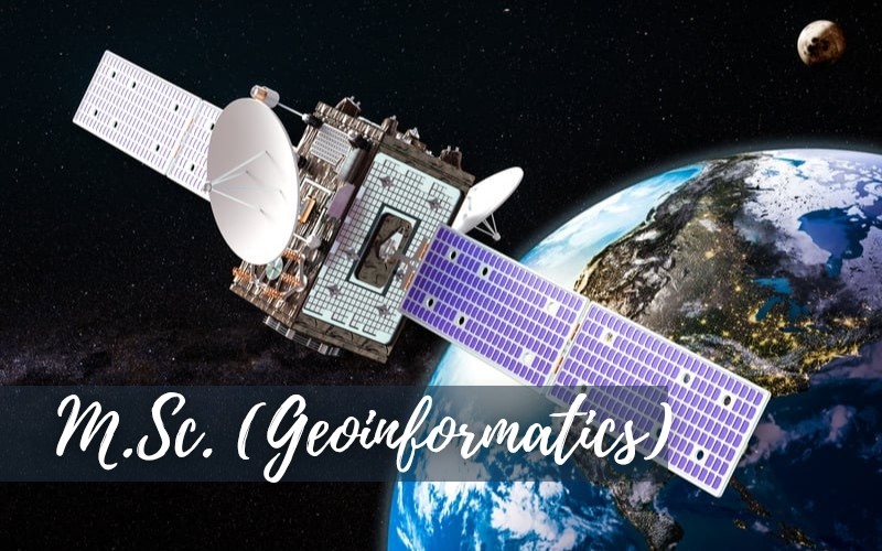
The M.Sc. in Geoinformatics equips students with advanced knowledge and skills in geospatial technologies such as GIS, remote sensing, LIDAR, Drone, WEBGIS, GIS Development, digital image processing, spatial modeling, and drone mapping. As industries and governments increasingly rely on location-based intelligence for decision-making, there is a high demand for professionals who can analyze, interpret, and visualize and modelling spatial data for applications in urban planning, policy making, disaster risk reduction, agriculture, environmental monitoring, smart cities, and more.
This program fosters interdisciplinary learning by integrating geography, computer science, and data analytics, preparing graduates for roles in research, industry, government, and international organizations. It also builds a strong foundation for further academic pursuits such as Ph.D. and positions students at the forefront of innovation in areas like geospatial AI, climate change modeling, and UAV-based mapping. Offering this program supports national goals in sustainable development, digital infrastructure, and e-governance.

Engaging, interactive content designed for modern, digital learning environments.

A well-designed curriculum that fosters skill-building through systematic learning.

Efficient, realtime assessments to track and enhance student progress.

Cutting-edge technology integrated across the campus for an immersive learning experience.

Robust industry connections to facilitate valuable internships and secure placements.

We select the best faculty to ensure exceptional education and expertise.

Focused training aligned with industry needs to boost career readiness.

Access to State-of-the-art computer labs for hands-on technical skill development

Copyrights © 2024 NIILM UNIVERSITY. All rights reserved.